Texas Natural Resources Information System Launches Emergency Resource Site
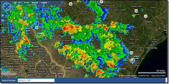
TNRIS just launched their new Emergency Resources web site just in time for Gustav to touchdown over Texas. The site overlays Doppler weather with a Virtual Earth map for storm tracking. You can also get down to a specific city, by geocoding places in the search box.
There are few things that compare to a hot, heavy, Texas rain pouring down on you during a warm afternoon, but this is ridiculous! Batten down the hatches, Texas! Use this site to plan appropriately.
CP
Comments
- Anonymous
September 02, 2008
I found a couple good sites using Virtual Earth to visualize information about Hurricane Gustav (in addition
