Visualizing ESRI ArcGIS Data in Virtual Earth Using Arc2Earth
Brian Flood from Spatial Data Logic has released an add-in for ESRI ArcGIS which enables data visualization in Microsoft Virtual Earth called Arc2Earth. Arc2Earth has historically allowed for visualization in Google Earth and Google Maps, but most recently added Virtual Earth to it's list of mapping platforms to which users can publish. In their own words, Arc2Earth, "was created to convert and publish your ArcGIS data to view in Google Earth, Google Maps or Virtual Earth with a click of a button. There are some advantages and disadvantages to using one product over another. Google Earth is a full fledged application with all of the tools available to the user at startup. Some of the tools found in Google Earth are not available in Google Maps and Virtual Earth. Due to its robustness Google Earth must be installed on the users PC in order to view the exported data from Arc2Earth. "
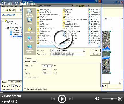
Brian posted a how to video on Soapbox which I've embedded below. I couldn't hear anything, so I assume there's no dictation. If you're familiar with ArcGIS it's fairly straightforward.
All in all, this is a great way to combine the power and legacy of ESRI ArcGIS data with the huge investments and migrations to the web both Microsoft and Google are making in their mapping platforms.
CP
Comments
- Anonymous
December 22, 2007
Brian Flood from Spatial Data Logic has released an add-in for ESRI ArcGIS which enables data visualization
