A Few Virtual Earth / Silverlight Demo Applications
A few months back I posted about Lots of Virtual Earth and Silverlight Development Outside of Microsoft and things haven't quite slowed down, now have they? I found a couple interesting applications with Silverlight and Microsoft Virtual Earth that I figured I'd share with the rest of you in case you hadn't seen them.
IDV's Fusion Server is always top of the list for demonstrating the power of business intelligence applications and Virtual Earth. Their Silverlight / Virtual Earth application showcases the ability to add vector points, draw lines and create polygons with a Silverlight interface using the Virtual Earth map tiles. Once you've completed the drawing, you can export the data to KML or a SQL Server 2008 Script. You can pull in Virtual Earth road, aerial or hybrid tiles the navigation is super slick. Plus, you can rotate the map 360 degrees (as shown).
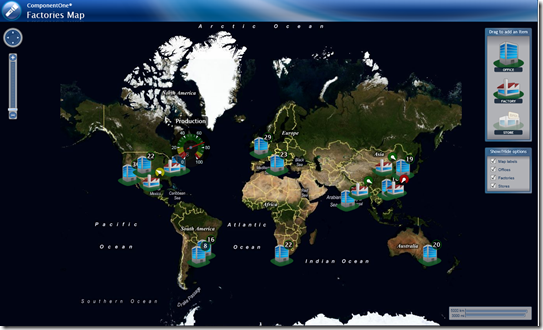
This is a pretty simple "Factories Map" that actually highlights factories, offices and stores around the globe for an apparent fictitious company. The points on the map represent different assets of a company, but what I love about this is the real-time production meters for the factories. Click on any factory gauge to get a reading of their production levels. Or, you can just click on any asset to get the name of it.
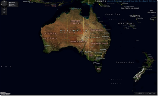
This is your basic Silverlight / Virtual Earth experience - navigating maps and changing map styles. Now, just add data. Don't forget about the Deep Earth project going on on CodePlex. This open source project really shot out of the gate and I hope the investment from the community continues.
CP
Comments
Anonymous
August 18, 2008
PingBack from http://hoursfunnywallpaper.cn/?p=2012Anonymous
August 19, 2008
A little linear algebra for you Canadians, eh? No less than 24 hours after I post " A Few VirtualAnonymous
August 21, 2008
Post: Approved at: Aug-21-2008 Linux & Silverlight Microsoft and Novell expanding their partnership


