Bing Maps
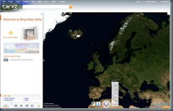
Microsoft recently launched the new beta Silverlight version of Bing Maps. Merging a whole range of technologies, there’s now some really cool stuff available in Bing Maps! From satellite view to Streetside to Photosynth, Bing Maps has it all!
User Interface
With the new Bing Maps, the user interface has changed quite a lot. It’s now cleaner, more responsive and much richer than the AJAX version. This is because the beta version of Bing Maps is now using Silverlight. Because of this, the experience is now much more intuitive and a lot more user friendly, offering a seamless experience and great immersion.
Streetside
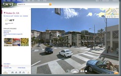
Bing Maps now offers multiple view modes. Streetside is one of these new view modes.
Streetside is a collection of ground level photographs that are stitched together to create an immersive experience at street level. It allows a full 360 panoramic view of the street, along with the ability to zoom in and out of locations. The mini map displays where abouts on the map you actually are, along with facing direction and street information.
Enhanced Birdseye
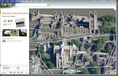
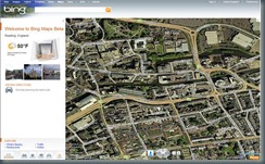
Enhanced Birdseye is the traditional Birdseye view with a twist. As we’re now using Silverlight 3, we have more tools at our disposal. As such, we now have “urban-view” and “non-urban-view”.
Photosynth
Photosynth allows you to take a bunch of photos of the same scene or object and automagically stitch them all together into one big interactive 3D viewing experience that you can share with anyone on the web.
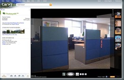
Bing Maps adds functionality to add custom Photosynth’s to landmarks and places. To view a Photosynth, you just click on the green blob, click Dive In and you’ll zoom straight in to the Photosynth. Here’s one someone in the office threw together and put up on Bing Maps!
What’s Nearby
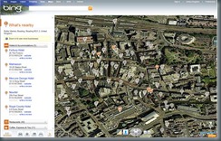
With Bing Maps, you can zoom in to the location you want and check for nearby services, such as cinemas, restaurants and hotels.
Integrated Controls
There’s also other integrated information in the left hand side of the map, including Weather, Images, Directions and traffic information – all easy to access and at a glance!
Applications
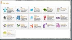
With the new Bing Maps, there is also a variety of integrated applications within Bing Maps.
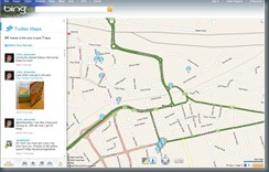
This includes geo-tagged tweets – you can see who’s tweeting near you and what they’re tweeting! A great feature for organizing your Tweetups and Twestivals!
Want to try it?
If you want to try it out, just point your browser to https://www.bing.com/maps/explore/ and check out all the new features for yourself!
