Tip o' the Week 383 – Windows Maps refresh
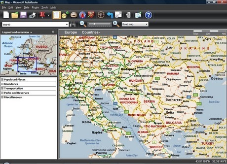
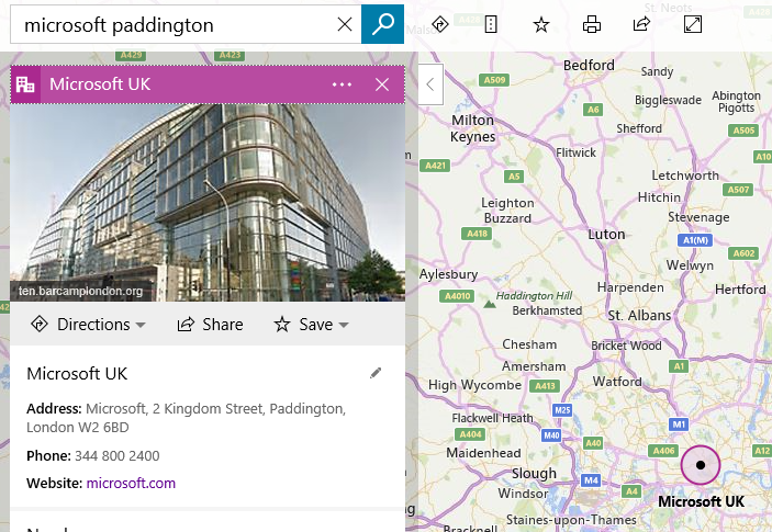
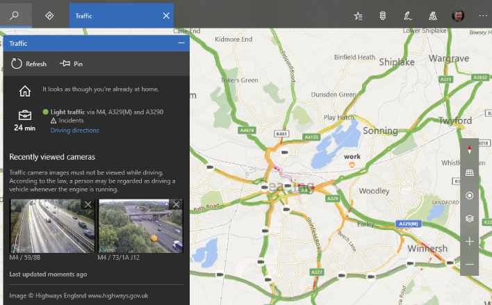
A company called NextBase released an early PC application called “Autoroute” that was bought by fleet transport managers and the likes, who might have saved time and fuel by more efficiently Microsoft went on to acquire NextBase and released AutoRoute in some markets, and Streets & Trips in others, and went on to sell it for the more modest £99‡. † this figure is made up, because I can’t for the life of me find any reference to the actual cost, but I do remember it was A LOT . Like, enough to drive a lot of pirate copies… ‡ so is this figure Now AutoRoute, Streets & Trips and their more professional data analysis counterpart, MapPoint, have all shuffled off to make way for the more popular – and mostly free – online mapping tools that people use today. Microsoft acquired MultiMap along the way, to bring additional expertise and technology to the Bing Maps platform. So, most people will now use Bing Maps or Google Maps (Street View not available in all places) for finding directions. The latter is particularly good for finding places where you don’t need to know their address; put the name of a restaurant into Google Maps in a browser, or onto the Google Maps app on your phone, and you can get directions straight there without even bothering to look it up first. Tip: if you search for the name of a place in Bing Maps, it shows you the result in a pop-out pane on the left, but sometimes leaves you trying to zoom & scroll, zoom & scroll to get the detail around your destination… to quickly go there, click once on the title banner (“Microsoft UK” in the example below) to collapse it, and once again to bring it back – at which point, the map view should zoom to the point. Anyway, Bing Maps is improving its ability to find stuff around any given point – nearby restaurants, attractions, parking, that kind of thing - and this has now percolated through into a nicely updated Maps application for Windows 10 and Windows 10 Mobile. To see what version of Windows Maps you’re running, click the elipsis in the top right, choose Settings and scroll to the bottom to see the version number – at time of writing, the updated version is Maps 5.1705.1391.0 but insiders will be on a later release. If you search for a place, or even just right-click somewhere on a map to Drop a Pin, you’ll get the option to see what’s nearby and quickly find more details, plan a route to the destination etc. As well as integrating place info better, the Maps app also has some nice traffic reporting capabilities – if Cortana knows your home and work locations, Maps will immediately think about your commute when you click on the traffic lights icon near the top right. As well as showing a colour coded And if you plan a route using the driving directions, you can pin that route to your Start menu if it’s one you use a lot… Read more about other updates to Windows Maps in the recent weeks. |
